Cloudbursts in India
What is a Cloudburst?
According to the India Meteorological Department (IMD), a cloudburst is a highly localized, extreme weather event where an area of roughly 20 to 30 sq. km receives 10 cm (100 mm) or more of rainfall within an hour. It represents an extraordinary volume of water falling in a very short duration, vastly exceeding the ground’s absorption capacity and triggering sudden, destructive flash floods.
Scientists also advocate for a mini-cloudburst category (5 cm of rain in an hour over the same area), which can cause equal devastation depending on local mountain topography.
How Does a Cloudburst Occur?
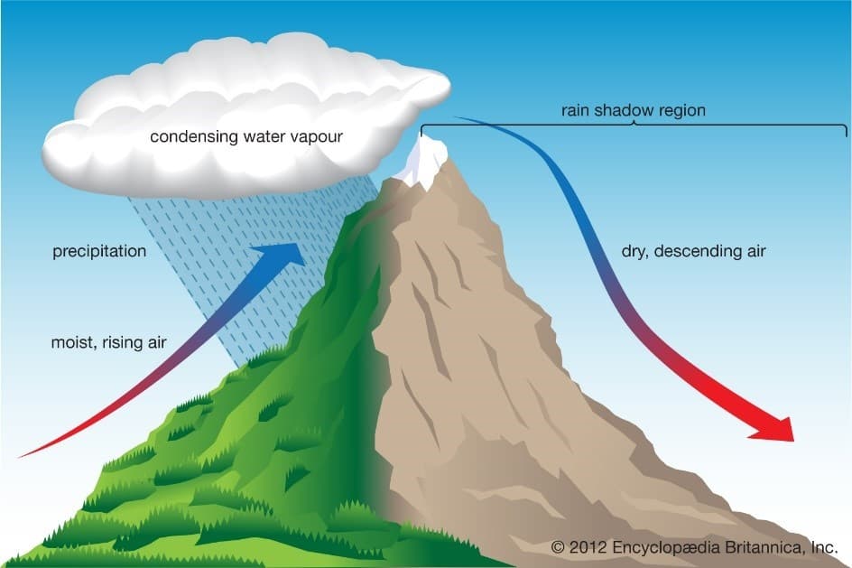
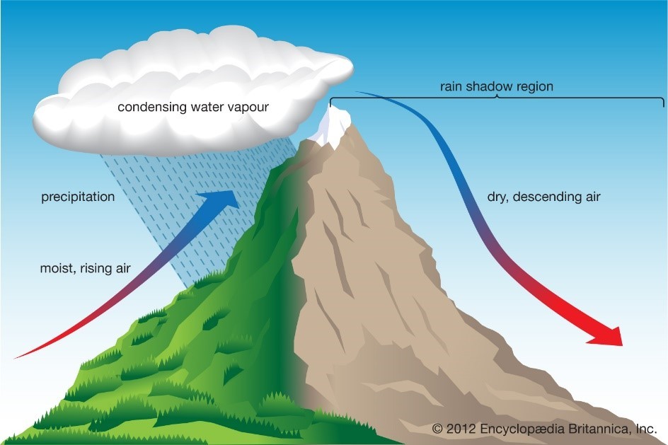
Orographic Lifting: Warm, moisture-laden monsoon air is forced to rise rapidly as it collides with steep mountain barriers.
Updraft Convection: Strong upward currents of warm air prevent condensing water droplets from falling immediately, trapping them inside towering cumulonimbus clouds (up to 15 km tall).
Over-Saturation & Collapse: As more water droplets accumulate, their combined weight eventually overcomes the upward currents, or the updraft suddenly weakens.
Sudden Torrent: The trapped water plummets simultaneously, dropping a massive volume of water like a torrential wall onto a small patch of land.